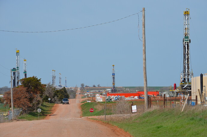
Went for a drive today down south of Lindsay. Nearly makes me sick to my stomach how much trash has been thrown out along side the roads and the paved roads that have been turned to dirt and mud holes! That being said I'll try to report what I saw.
Flare still burning on the Tina (Sec. 2 2n,4w), people still working on the three compressor stations down that way.
The new Branch (Sec. 21 2n,4w) wells have three down and two still standing. The first Branch well still had the gate locked and no action going on.
The "Whatley" (Sec. 20, 2n,4w had the gate open but I didn't go down the road as it has the "keep out" signs still up. Probably down there hauling off all the oil so Lea and Lloyd along with Bob Berry and some fortunate others will have a BIG check for that first one!
No new locations around Sec. 20 there that I could see that might be for the "Claudine" going from 20 through 29 and 32 2n,4w.
Flare still burning on the Boles. All trailer houses gone and there were three long tank trucks parked beside the tanks. It probably takes three at a time to haul off all the oil that jewel is making!
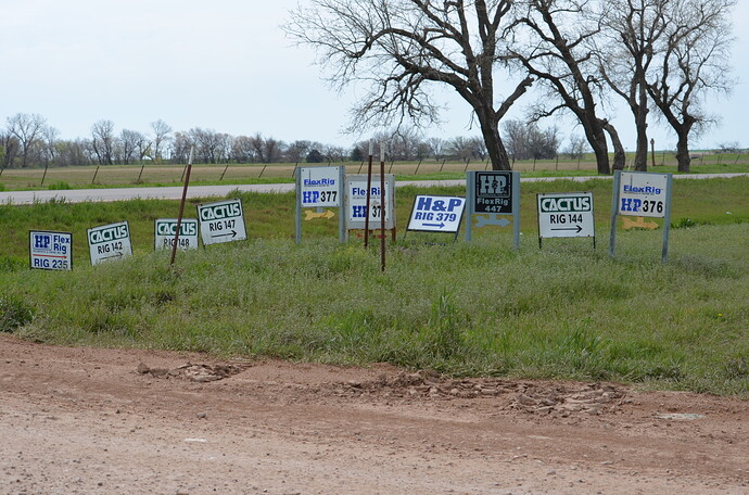
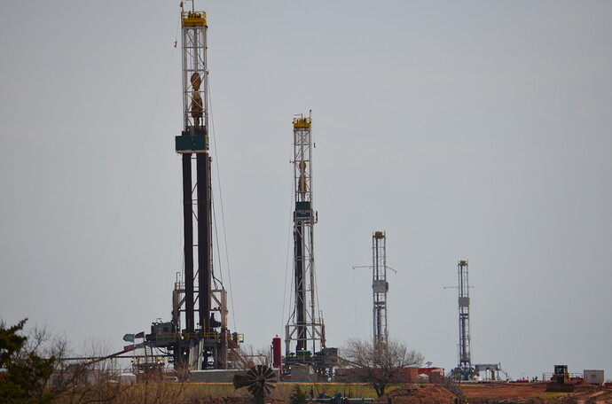
They have rigged up Cactus rig #160 on the west side of the Garvin/County line road (east of the Boles well) I'm thinking that's Sec. 24, 2n,4w. Anyone know for sure?
Looked like frack tanks and light plants around on the "Honeycutt" in Section 22 2n,4w but I couldn't see up over the hill from the road to really tell what was going on. I figured they already had that one fracked by now so I don't know for sure.
Looked like the permanant wellhead (the Christmas Tree) was on the Vanarkel (Sec. 15, 2n,4w).
Marathon rig #535 sign was up on the highway 76 north of the Garvin/Stephens County line road. I couldn't see a rig so I don't know how far west down the road off of highway 76 it was. I'm going to guess it's the road that divides Section 27 and 34 3n,4w and like I said I don't know how far west it was.
To be continued:


