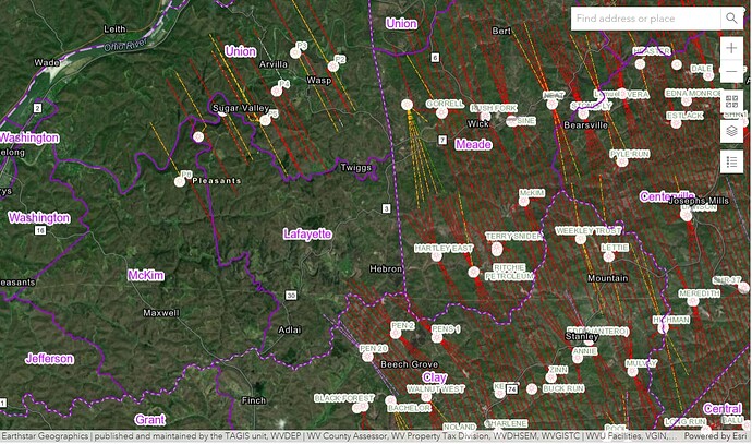
Anyone aware of any drilling activity or permitting in Pleasants County (Lafyette Section) in West Virginia.
On the edge of the play, but surrounded by wells. Go here: WVDEP Oil&Gas Well Information to zoom in on your tract
How do I identify the exact location of my tract? I have the P/O numbers but apparently I need the API #'s. Not sure where to find the API numbers.
I take it you’re out of state? Do you have a description of the tracts? If you zoom in the tax map numbers are listed for each tract. API stands for American Petroleum Institute…they assign a unique number to every oil and gas well in the country. You can get it by clicking on the wells on the map, that would also show where you own.
This topic was automatically closed after 90 days. New replies are no longer allowed.
