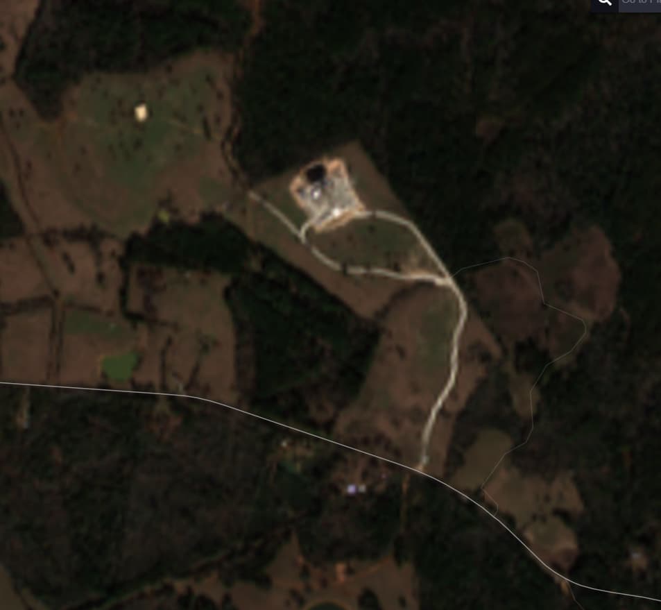
Looking at the stealth well and the key lease footprint, I’m not sure they are related
Key is not the only entity leasing in Houston County. Drake Exploration and Cypress are two others known to be leasing there. Drake did the leasing where the Yancey well is located, but none of their leases have been recorded yet. In addition, Key Exploration and East Texas Energy have leased more than 50,000 acres in Cherokee County.
It is quite possible that all of this leasing relates to the same target zone and may involve EOG and/or Comstock.
The Buda is not near that deep. The previous Buda play in Houston County was in the south west part of the County. It was a failure. EOG drilled a number of horizontal Buda wells that played out quickly. They sold all their interest in it by auction on Energy Net.
Sunday Dec. 22 there were 4 large Big Rigs with 6 axle’s under the long trailers with wide load signs and orange flags on each side of the trailers leaving this location EMPTY, which means they had hauled in some large heavy equipment. It may be that there are several companies partnering on this well. There has not been a well drilled this deep in Houston County within 14 miles east and 14 miles south of this location. Wells can be permitted to a depth and then never drilled that depth. It’s been about 2012 since drilling has been done at 18,000 plus feet in the northern half of Houston County.
That suggests to me that they may be getting ready to drill a horizontal well. If correct, we should see an amended drilling permit in the not-to-distant future.
I heard it was Expand (ex Chesapeake) - any idea who Drake has leased for in the past?
Funny you say that, I heard the same thing about Expand last night.
Will try to get a drone out there next week. Will keep you guys posted…
That’s a very large looking pad.
Is that a temporary water line running to the right of the pad access road?
What would the temp. Water line signal?
Chesapeake had 5 different lease brokers at the same time in Houston County in 2010-2012. This same Deep Bossier type play first started about 1981. All this area was part of the 500 plus square mile 3-D program done by PGS. Anadarko, EOG, Devon, Chesapeake were supposedly in on it. These areas have had 2-D programs conducted numerous times. In 2012 they could not drill horizontal at 20,000 ft! My opinion is that it’s the same old Deep Bossier type attempt that has been around since 1981.
Can anyone in the area confirm if there are any temporary water lines running from the pad down to and past FM 227? If yes, that would indicate the possibility of some test frac’ing. There are two small lakes south of of 227 that could be water sources.
Chesapeake had 5 lease brokers in Houston County leasing in 2011-2012 for the Deep Bossier. Chesapeake and Devon were the main brokers leasing in this area of Houston County at that time. EOG bought Devon’s position in about 2015 in Houston County. EOG then sold most all their interest in Houston County through Energy Net as I remember.
Where did this picture come from If you can reveal it?
As of Dec. 26, 2025 this Drilling Rig is been “laid down” and I was told that it is being moved from the location. So apparently, at this time, they are not going to drill horizontal on this particular location at this time. Roomer has it that it will be “fracked”. Supposedly possible production in several formations. To me it’s not very good news.
Hopefully they had some successful testing.
Thanks, makes sense to vertical test and see how it compares.
This topic was automatically closed after 90 days. New replies are no longer allowed.
