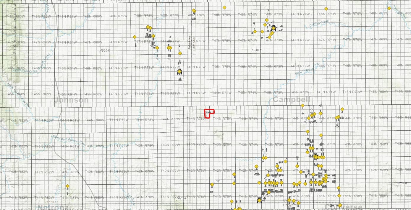
Just received this “activity map” for our mineral rights (see red outline).
Apparently, we are at least 10 miles away from the nearest active well(s)?
Could someone please guide me to a resource so that I can interpret these icons?
Much appreciated.
Just received this “activity map” for our mineral rights (see red outline).
Apparently, we are at least 10 miles away from the nearest active well(s)?
Could someone please guide me to a resource so that I can interpret these icons?
Much appreciated.
Not the complete story. Those are only the permits, but not knowing the time frame for them can be misleading. There were quite a few previous horizontal permits in and near the red box that have expired. Someone may have interest in the area when the price for products is right. They should have put the previous wells on the map to give a more complete picture.
Active leasing in two of those sections.
Thank you very much for your quick reply and expert insight.
I’ll continue to research the Wyoming Oil & Gas site to get a more complete picture surrounding our mineral rights.
By the way, is it allowed, on this forum, to ask for individual/company referrals to help our family negotiate a future mineral rights lease? If yes, do you offer mineral rights contract negotiation services?
The Directories tab above has a listing of experts that are available for hire.
Thank you for your guidance and reply.
This topic was automatically closed after 90 days. New replies are no longer allowed.