Where could i look or.call to see if drilli g is happening on Tract## 3-10 part of 16. In Doddgeridge county WV??? Grant district
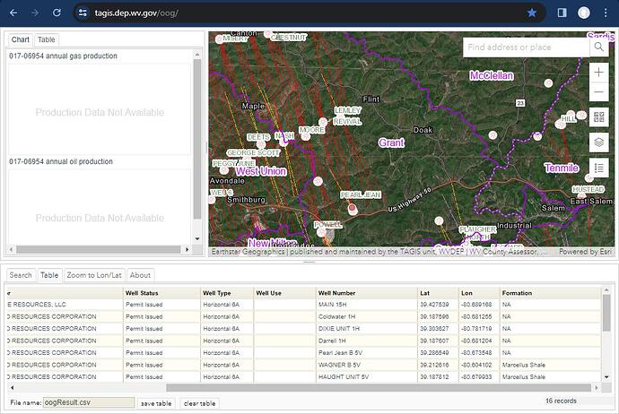
@Kerterina71, here are some links that might help. https://tagis.dep.wv.gov/oog/
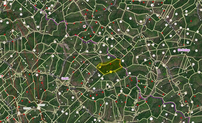
You can locate your parcel on the parcel map and then find it on the oil and gas map. Parcel code is County-Tax District-Map-Parcel-suffix. Part of the 16 map shown below;
I really don’t understand alot of this . But did this show that they have bern drilling in this part of doddgeridge county?
@Kerterina71, sorry I wasn’t able to locate your exact tract from your description. Doddridge County has had around 16 permits granted in the past year and the map below shows that the western portion of the Grant District has existing horizontal wells going through much of the area.
Hope this info is a little clearer.
The tax map parcel # 3-10-16 is highlighted. No activity just yet. More drilling is towards the West of where this sits.
We’ve got 60 acres in the Central District, Doddridge (wherever that is). Property was gifted. Legal descriptions are ancient–referring to trees and creeks–no reference to Section/Township/Range. Signed a lease with Antero about 5 years ago. Never heard a word from them. Can someone refer a landman or consultant to help us locate this property and determine drilling status?
You might try contacting the Doddridge County clerks records at www.http://129.71.205.241 and look up the original owner’s name. The property may be listed by parcel number there and check if the property taxes have been paid. Good luck.
This topic was automatically closed after 90 days. New replies are no longer allowed.


