Who is the Continental Landman, particularly for Stephens County, Section 21S, T1S, R4W.
The leases filed in that section recently have been with Camino, Continental, Dry Creek Energy, Duke Minerals. One does not have to lease with the operator.
Cheyenne Petroleum has a permit and Continental has a permit.
Way back in 2018 I signed a lease for the NMR to Echo Energy who soon thereafter passed it on the Camino. Then in April 2023 Continental purchased the lease (or some other arrangement) from Camino. All the drilling in that section is being done with the Gus McCrae. It seems it is easier to get information from the Landman associated with that rig than Continental’s office. I’m looking who that would be.
What kind of information are you looking for? A lot of information is proprietary while some is public.
Going the fracking process with Section 20 a few years ago, I got nothing from Cheyenne Petroleum for 6 months and then got 1 check covering the production of 5 franked wells over 5 months.
With Continental I got nothing from them for 6 months but I finally got 1 check covering 1 well over the last 2 months. Did miss this fracking activity? Were the new fracked wells associated with Section 16 and nothing in 21? By the way, the check was half of the previous from Continental.
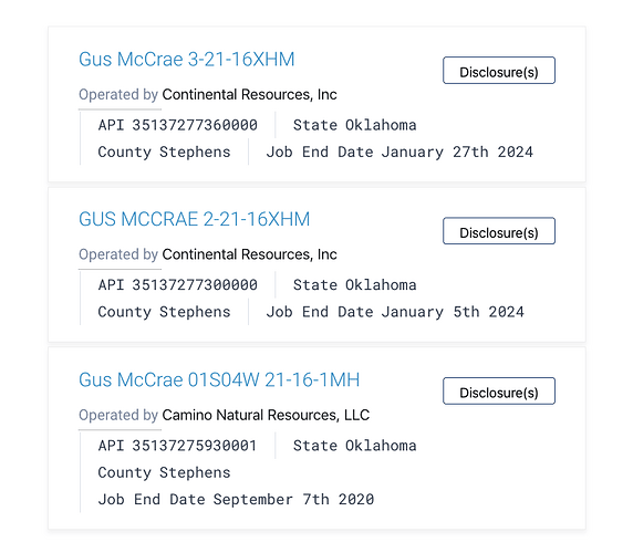
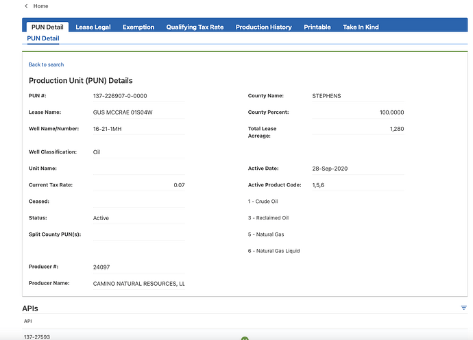
You are way past the landman stage. They move onto other projects. The well is called Gus McCrae 01S04W. It was drilled by Continental back in 2019/20. The first check that you get is for several months of production and is supposed to arrive by 180 days past first sales (6 mo). That check is based upon the volume of products and the prices paid at that time. The next check will be only for a month of product. At the time, only one well was drilled and fracked by Continental. Section 20 to the west with Cheyenne had two wells drilled in 2018/19. Two more infill wells drilled in 21/22. They would have had their own contracts with carriers for product pricing.
Continental has been drilling two more Gus McCrae wells. They were both fracked. They can be found on www.fracfocus.org. The #2 well had first production in February, so you will probably see a payment for it in late July or early August. Same for the #3. Prices in 2024 are different than in 2020.
What is your exact question? If it is about payments, then you need to contact the Division Order department for Continental.
So when I get a single receipt from Cheyenne showing 5 separate amounts from 5 separate sources adding up to the check it self, it is from 1 well? What do you call those separate sources coming from that single well?
Look at the property ID on the statement to see if numbers/names change. Not seeing the statement, can’t say for sure.
180 days after Cheyenne’s fracking in Section 20 I got the first receipt showing oil, gas and process values. The values came from 1) “Well:OK098201 SKEET 17-20 LW 1H”, 2) “Well:OK098211 SKEET 17-20 S 3H”, 3) “Well:OK098211 SKEET 17-20 S 4H”, 4) “Well:OK098212 Cassie Armour 17-20 S 1H”, 5) “Well:OK098213 Alice Tucker 17-20 S 2H”.
The first, single well was SKEET 17-20, OK098201 and after the fracking @ 6/22 they added well numbers and names to the new “wells”.
That being the case, why did I get a check/receipt from Continental showing only with June and May stating the well is Gus McCrae 01S04W-1MH?
The Cheyenne statement is showing multiple wells.
The Continental statement has the first Gus McCrae well. The other two should show up shortly.
Were the 3 Gus McCrae’s shown in fracfocus were actually drilled down at those 3 location? Or did they all start drilling down at the first location and then went horizontal to the location shown on fracfocus map?
the two new Gus McCrae wells had a surface location in section 28 and drilled north into 21 and 16. Production is available on the OTC website now. Feb-May https://oktap.tax.ok.gov/oktap/web/_/#2
Thanks for the history of the new wells. That puts my concerns to bet.
I forgot how to find production. When I follow the website you copied to all I see is dashboard with nothing about wells or production. Does the site state when they began producing?
Interesting. I just got an email explaining that well #2 is on the west side of the section and well # 3 is on the east side. Seems that some way at least the upper elevation of the section is split in half.
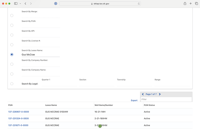
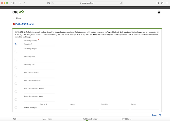
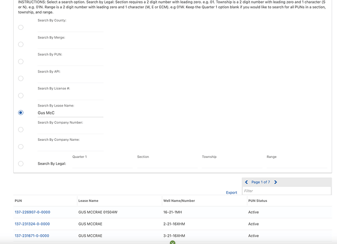
https://oktap.tax.ok.gov/oktap/web/_/ Go to the HELP BOX and Public PUN Search
Then touch the BLUE PUN number and the well will pop up. There is a tab for production. You can also print it. See the tabs at the top. Here is the first one.This topic was automatically closed after 90 days. New replies are no longer allowed.
