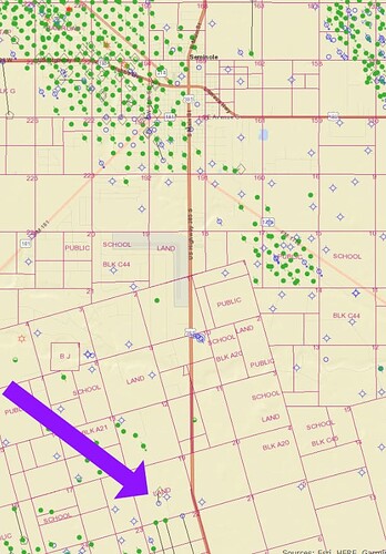
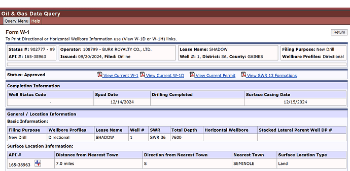
Are there any boots/wheels on the ground in Gaines county that can confirm the rig for this well was or is up seven miles south of Seminole? What would the target be at the permitted depth? Why would it not have a longer lateral section?
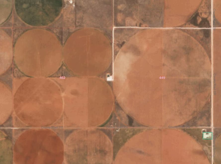
At that depth should be a Clearfork well. I assume they drilled it directionally so they could put the pad outside the radius of that dude’s irrigation pivot. But don’t know. Wildcatters be wildcatting I guess.
Thank you, NMoilboy. The irrigation pivot makes perfect sense. What may be an affiliated, permitted well NW of Seminole in Abst. 1475 also displays the feature of having the surface location outside the irrigated land, but its depth is 9300’. Is the rig up south of Seminole?
There are no rigs in Gaines currently. According to Drillinginfo/Enverus. Maybe I’m not following.
If that’s the Spire well it was already drilled. I think. Pad built, looked like rig was on it from satellite photos in Oct/Nov but these are kinda like squinting at the sun
This week’s Enerlead Rig Report indicates one rig for Burk Royalty in Gaines county. I do not think this was in the immediately earlier report. The Spire well is not shown on the permit as having been spud(ded) like the Shadow well. The Spire well’s 9300’ depth, is that Wolfcamp or ?
I’m not going to pretend I know a ton about Gaines Cty. (well I might be lying, I’ll probably pretend I know something despite knowing little). Enverus said it spud. There is a pad there. Something looked to be on the pad. That’s about all I got. Top of Wolfcamp should be around 9100 or so based on offset reports.
This topic was automatically closed after 90 days. New replies are no longer allowed.


