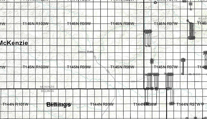
My family holds mineral rights in the southern part of T145N R99W - and our 10 year leases with Hess are expiring this month. The only activity I’ve noticed over the last 10 years is that some spacing units were requested and approved in 2015 (https://www.dmr.nd.gov/oilgas/dockets/2015/docket072315s.pdf) by Gadeco on sections 28/33,27/34, and 26/35. They also requested the “Scairt Woman” field be extended east to include everything up to and including 26/35. The GIS server shows the spacing units, but doesn’t seem to indicate that the “Scairt Woman” field was extended. At the NDIC hearings they said they held leases in that area and were trying to protect their lease interests… (which they said they owned 25%) but I searched for Gadeco on the county website and couldn’t find anything in 145/99 that had that name on it. Although in reviewing the audio from the NDIC hearing (I kept a recording), they said their lease expired in 2017. They also said they wanted to drill one well on each spacing unit right away… but nothing ever happened. Oddly that was the only case on the docket that day. They seemed to indicate they were asking their request to be “expedited”.
Does anyone have any insights into what might be going on? As far as I can tell, Hess is out of the picture at this point since the primary term of the leases has expired and there has been no activity… and perhaps…so is Gadeco. I guess their lease is/was from the BLM.
One other thing I’m curious about - the spacing units on the NDIC GIS server have a number “26730” on them - can anyone tell me what is the meaning of that label. I’m curious if it’s of any use for searching.
