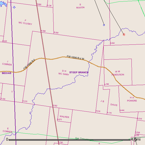
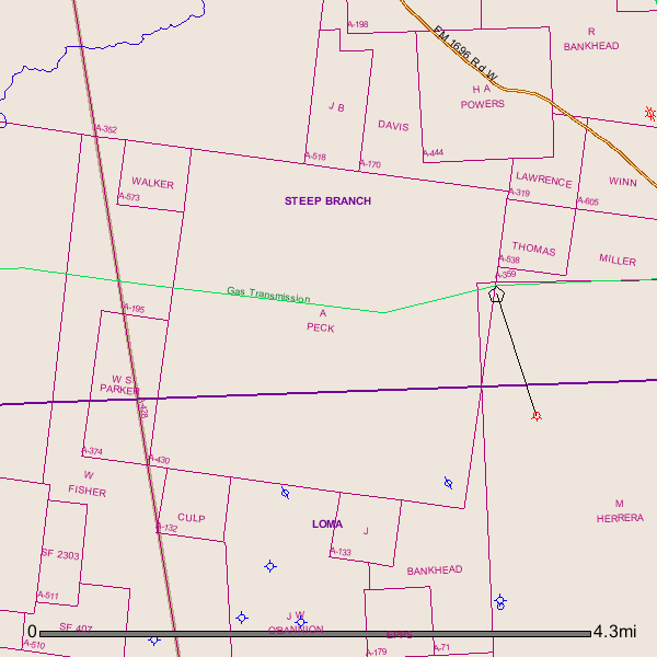
Any one familiar with the McGary, Peck and J.B. Smith Surveys, Walker County? The following tracts seem to have caught the attention of EOG. Just wondering what the story is.
Being 945.15 acres of land, more or less, situated in the Daniel H. McGary Survey, A-352, Walker County, Texas, the Abraham Peck Survey, A-430, Walker County, Texas, and the Jeremiah B. Smith Survey, A-518, Walker County, Texas, and being the following four (4) tract, to-wit:
TRACT 1:
Being 500.35 acres of land, more or less, being Lots 64, 74, 75, 76, 77, 78, 90, 91, 92, and 93, of the H.L. Scales Subdivision Plat dated May 12, 1908, of record at Volume 29, Page 146, Deed Records of Walker County, Texas, situated in the Daniel H. McGary Survey, A-352, Walker County, Texas, and being more particularly described in that certain judgment dated October 10, 1963, titled W. W. Payne, et ux, vs. Unknown Heirs of D. H. McGary, et al, of record at Cause No. 10,169, of the 12th Judicial District Court of Walker County, Texas; said 500.35 acres of land, is also part of that certain 650.35 acres of land, described at Tract No. 1 in that certain Warranty Deed with Vendor’s Lien dated April 1, 1925, from H.L. Scales and wife, Jane W. Scales to B.F. Payne, Jr. and W.W. Payne, of record at Volume 56, Page 557, Deed Records of Walker County, Texas.
TRACT 2:
Being 177.8 acres of land, more or less, situated in the Abraham Peck Survey, A-430, Walker County, Texas, being more particularly described as Lots 125, 126, 127, and 129 in that certain H.L. Scales Subdivision plat dated May 12, 1908, of record at Volume 29, Page 146, Deed Records of Walker County, Texas, and being the same land described in that certain Quit Claim Deed dated September 15, 1939, from L. J. Summerfield to E. W. Lasater, of record at Volume 103, Page 47, Deed Records of Walker County, Texas.
TRACT 3:
Being 62.00 acres of land, more or less, situated int eh Jeremiah B. Smith Survey, A-518, Walker County, Texas, and being more particularly described as Lot 106 in that certain H. L. Scales Subdivision Plat dated May 12, 1908, of record at Volume 29, Page 146, Deed Records of Walker County, Texas.
TRACT 4:
Being 205.00 acres of land, more or less, situated in the Jeremiah B. Smith Survey, A-518, Walker County, Texas, and being more particularly described as Lots 104, 105, 108, and 109 in that certain the H.L. Scales Subdivision Plat dated May 12, 1908, of record at Volume 29, Page 146, Deed Records of Walker County, Texas.
Containing 240 acres total more or less

