Mitsui filed a drilling permit request today for an exploratory vertical well to be located 5.5 miles east of Buffalo. Max depth listed as 30,000 feet.
3 Likes
That sounds deep to me. Seems to me they’ll get quite a bit of info on the geology. When they drill, do you know if there’s any data they are required to publish & where one could find the data? Or is the only public info the leases they sign? I presume they’ll file for horizontal permits based on what they find, once they have the leases they want?
The data that they are required to file will most likely be found on the Texas Railroad Commission site. The As-Drilled information will be posted eventually.
Rig is on site, spud date today (2/24/2025). Scandrill 2000 HP rig. Enverus shows it as a stratigraphic/core test well.
3 Likes
Happy to see this deep one going to the ground.
Found this on there website…
Scan Explorer Mitsui (MDT) Henson 1H Spudded: Andrew Crump Armando Garcia 432-614-6424 Norseman II Series- 2000 HP AC From Hwy 75 & Hwy 79 in Buffalo, Tx travel 7.9 miles EAST on Hwy 79 to CR832. Turn onto CR832 and Travel 0.9 miles Southeast to CR223. Turn right onto CR223 and travel 1.3 miles. Turn left and cross over railroad tracks and continue to travel 2.6 miles on CR223. Turn right and travel 0.1 miles to location road (private road 2231) on left and follow location road 0.8 miles to location.
2 Likes
This a horizontal well to be drilled. The 30,000 ft. is the projected total depth including the horizontal lateral.
No, it is a vertical test well permitted to 30,000 feet. Enverus lists it as a vertical stratigraphic/core test well.
I doubt that they drill all the way down to 30,000 feet, but we will see.
1 Like
Anyone heard of the exploratory wells progresss so far?
1 Like
Spud date was March 2. If they actually drill close to the permitted depth of 30,000 feet, it will probably take about four months, so there won’t be any news for a while.
1 Like
Mitsui has amended the permit for this well to horizontal. Now the 30,000 feet permit makes sense! Guess their test wells results were good.
2 Likes
If the bottom hole is in an abstract the company hasn’t leased, what do they do for those owners?
The E&P company has to have leases for all the tracts crossed by a horizontal wellbore where there are perforations, subject to Texas RRC guidelines.
In this case, I assume Mitsui has the required leases. They acquired 46,500 net acres in Leon and Freestone Counties from Vanna Production/Sabana Royalty Partners/Thorp Petroleum.
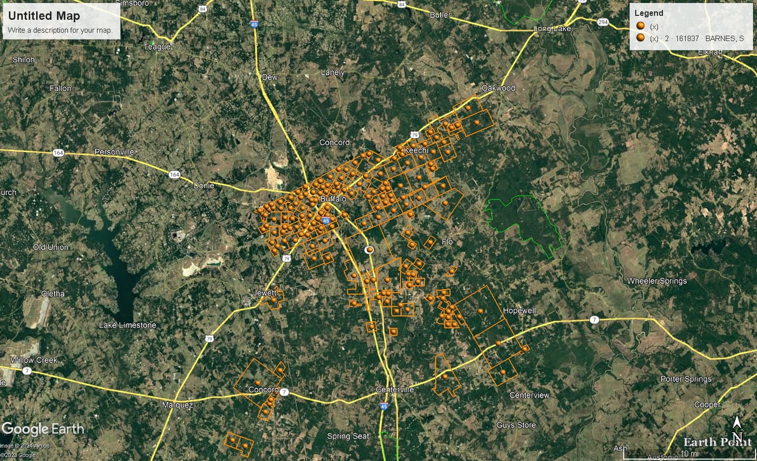
Here’s a map of the Leon County Surveys that contain leases acquired by Mitsui from Vanna Production:
1 Like
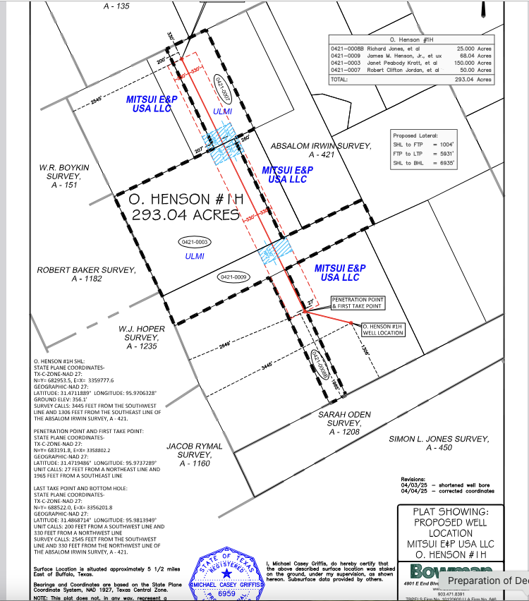
The P-16 Form filed with the permit amendment can be found here:
https://webapps.rrc.state.tx.us/dpimages/img/8400000-8499999//PR0008457239_0001.pdf
Go to page 2 to see the names of the lessors included in the 293-acre drilling unit.
1 Like
The Survey that was done for this unit states that it is not a boundary line survey at the bottom of the plat!
1 Like
Got it, at least at my idiot level. Looks like Comstock may have a little competition in this area. BTW, we’ve been getting offers to buy our leased mineral rights from outfits that must be scammers, because I can’t see any way they could make back their money in royalties during the term of the lease. I haven’t talked to any of these folks, but I assume they’re just running a basic “bait & switch”: entice you to talk to them, then try to convince you take a ridiculous low-ball offer. Maybe something even more nefarious? Anyone have any experience with these folks? My guess is they just scan the list of recorded leases & do a mass mailing, hoping they hit someone gullible.
I have received offers, both lowball and good. I have spoken with the “good” companies. They think it will be re-leased because there are a lot of minerals available.
Do the “good” companies give any idea of how soon they expect to make their money back? They must be expecting a very good rate of return if they’re counting on re-leases to make their profits. Seems to me they’d want at least a 150% return over 6 years. I think they’d want more, because unless they have non-public info, it’s not 100% certain that there will be any returns at all. I guess we shall see.
This topic was automatically closed after 90 days. New replies are no longer allowed.