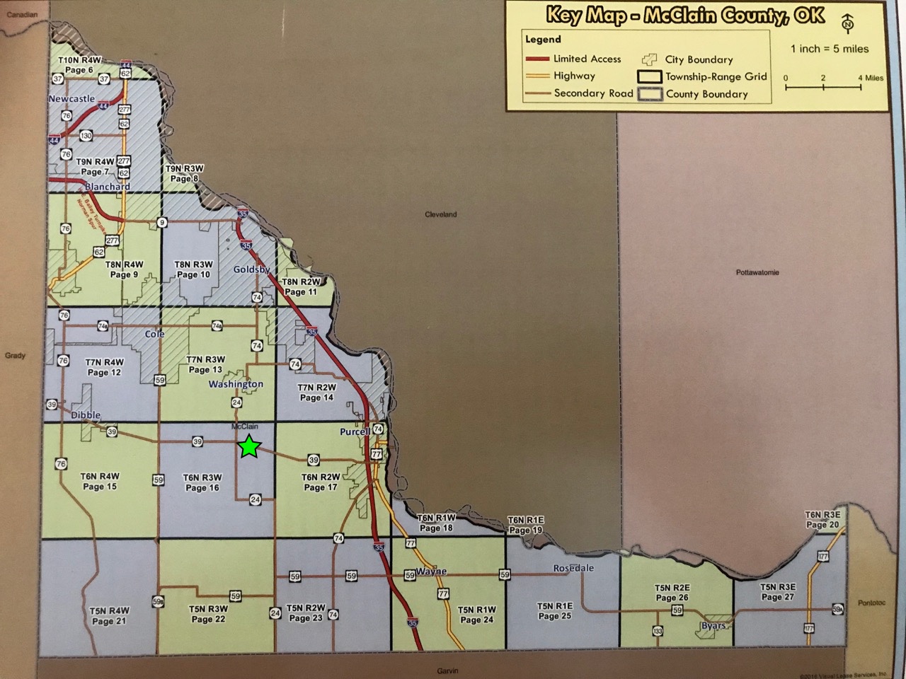
Is there an online section map which shows the section and their numbers for McClain County? When everyone talks about their sections I have no idea where they are at. It would sure help those of us not familiar with the county.
Here is a standard township plat map with the thirty-six 640 acre sections numbered. This works for any county you are in that has no obstructing features, such as rivers. Those townships will be “irregular” and you will have to find that particular plat to see just how everything is numbered.
If you want to see the bigger picture, draw four of these plats together and then you can see what is going on in a twelve mile square (each “regular” section is one mile square, the entire township is six miles square).
Hope this helps. There are tons of places on the web with good tutorials about this kind of stuff to help you become a better informed land/mineral owner.
Oklahoma Dept. of Transportation, ODOT, sells county maps that show Sections, Townships & Ranges for a nominal amount. Some counties are on 2 maps. I bought the whole set for all 77 of Oklahoma counties a few years ago and have found them invaluable.
Try this website and if you have problems accessing it let me know. It’s the McClain County maps and you can enlarge and print them. http://www.odot.org/maps/county/map_co_44-mcclain.pdf