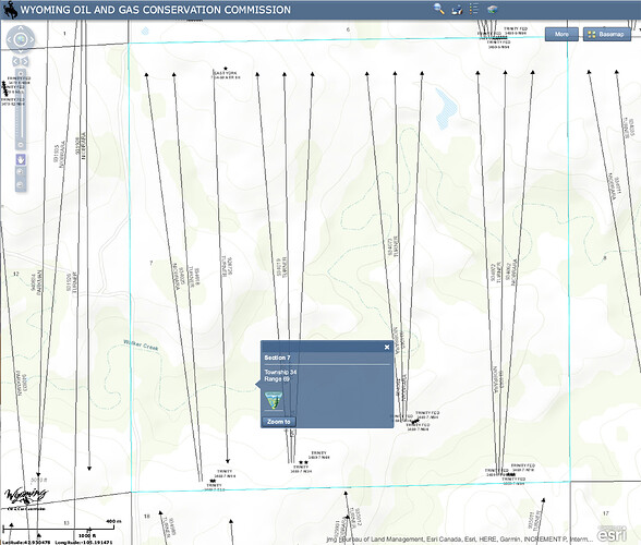
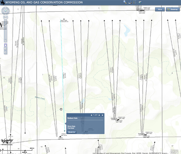
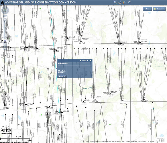
I’m trying to research a couple of small tracts of minerals in Converse County, Wyoming. I located section 7, Township 34, Rage 69 on Wyoming’s Oil and Gas Conservation Commission’s GIS viewer:
http://wogccms.state.wy.us/flexviewers/unitmap/
It looks like there are a lot of wells permitted, but I can’t actually see any data (the “more data” link doesn’t work).
Doesn’t it seem weird to have that many permitted wells in a section? If I click on the surrounding sections, I get the same pop-up box indicating the bottom hole is permitted but with no data. This can’t be right.
Am I just using this incorrectly?
I’m trying to look up the following:
7-T34N-R69W 35-T35N-R70W 12-T34N-R70W 2-T34N-R70W


