Does anyone have any information on activity in the Kinder Morgan - XTO/Exxon Yates Field Unit in Pecos County, Texas?
Enverus/MineralIQ has recently listed 11 new permits to “recomplete” existing wells. A sample API number is: 4237135446. An oil well recomplete permit allows an operator to re-enter or re-open a previously abandoned well. It involves reworking the well to access a different reservoir or a different portion of the existing reservoir. Based on the new permits, I’m wondering if Kinder Morgan is actively recompleting these wells.
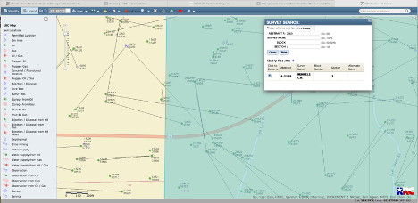
That is a huge field. “Any activity” is too broad a question. You can watch the progress of the wells on MinIQ/Energy Link as they progress. Use the Nearby Activity tab (the Bold One closer to the top) on the Portfolio option. They will be posted on the Texas Railroad Commission site as they finish. They will progress from New Permit Activity to New Rig Activity to New Well Completion Activity to New Producing Activity. Can take many months.
In Enverus/MineralIQ, in the New Permit Activity summary section, for the sample API 4237135446 listed in my post, if I click on the API number displayed, it lists very old well information:
YATES FIELD UNIT 214ZA1
New Drill Approved: 3-25-1985
Well Spudded: 6-6-1985
Completion Reported: 6-27-1985
If I click on the arrow “>”, view permit detail for this API, the information displayed is:
New Permit Activity
Date: 7-8-2024
Well Name: Yates Field Unit
API: 4237135446
Well Operator: Kinder Morgan
Permit Type: Recomplete
Drill Type: H
Approved Date: 7-8-2024
My understanding from reviewing this information is that these new permits are for recompleting old vertical wells. The new permit detail lists the drill type as H, horizontal. I am also wondering if they are fracking, or re-fracking these old wells instead of new drills. Exxon is heavily into new fracking technology. I know that MineralIQ lists new rig drill activity, but I wasn’t sure if that applied to fracking, re-fracking activity.
Not exactly the story for that well. The original well was drilled in in about 1942 vertical to 1540’. Last production was in Oct 1998. Then a directional sidetrack was permitted to the east in 2016. I see another sidetrack to the west, looks like both went into the San Andres at about 1560’.
The track of the new sidetrack appears to be to the SE and is also in the San Andres. I do not know their completions techniques here. This may be too shallow to need a frac. Someone local may be able to comment. The current boreholes are located just to the north of the bend of the red road.